Rotax Goes South As We Go West
 |
| Zion National Park |
Copilot Manfried says, "The needle of the voltage meter is no longer in the green range." Sure enough, the needle is below the green arc. I pull back the power of our Zenith 601HDS, N314LB, with 80 hp Rotax 912 engine. As engine rpm is reduced from 4,600 to 4,000, the needle drops. Pushing the throttle back in, the needle rises. So the alternator is charging, or so it seems. But not as much as usual.
Rationalization is a frequently used tool of pilots. I apply that tool to the case at hand and conclude that, really, there is no significant charging problem. On we go. But as we proceed, the needle of the voltage meter is continuously dropping, ever so slowly. Approaching Deming, NM, our first refueling stop for the day, the rpm reduction for descent causes the flags of the two electrical gyros to show up. Oh boy---we are about to run out of electrical power. A quick straight-in landing, taxiing to the hangar for overnight visitors, and then shutting down the engine. As usual, the rationalization tool has failed.
We are in Continental/Lycoming country. A Rotax engine is a novel and strange power source in Deming. Now what?
To the rescue come our friends Philip and Lynn, who live 50 miles north of Deming in Mimbres, NM. Philip has lots of Rotax-related information, in particular the phone number of a helpful and generous Rotax specialist in Florida. Via phone instructions, the specialist has us step through tests of the alternator. He concludes that most likely the combination box of rectifier and voltage regulator has failed. He cannot ship anymore since it is late Friday, but suggests that we contact a Rotax supplier in California for overnight shipment. Philip and Lynn open their home to us when it becomes clear that weekend deliveries are not possible in Deming, and that the part will arrive on Monday morning. Since Manfried has not been in that part of the country, Philip and Lynn arrange for a trip to the nearby Gila Cliff Dwellings. Lynn puts together a wonderful picnic for the day hike.
 |
| Manfried, Lynn, Philip (l to r) |
First thing Monday morning, Philip takes us back to the Deming airport. Just before noon, the voltage regulator arrives. We install it. With the eager anticipation of kids on Christmas morning, we fire up the engine. What do you know? The voltage jumps immediately to the midpoint of the green arc!
It is too late in the day to leave, due to strong westerly winds that blow almost daily in the summer. Philip takes us back home, and Lynn serves a wonderful dinner. The next morning at 4 am, Philip takes us to the airport for a takeoff just before sunrise. What wonderful friends Philip and Lynn are! I still do not know how to properly thank them for their extraordinary assistance and hospitality.
Goal of the trip is Zion National Park in southwest Utah. The repair has reduced the time planned for the visit of the park by three days. But there is an upside. Philip has shown us a detailed VFR map of the Grand Canyon area that displays low-altitude corridors for transiting the Grand Canyon. The Las Vegas sectional only lists the rule "The airspace overlying the Grand Canyon National Park below 18,000 ft MSL is subject to special traffic rules." The sectional does not say where these rules can be found. The detailed VFR map has those rules; mypilotstore.com sells it for $3.95.
We use Philip's map to chart a course on the Las Vegas sectional that requires precision flying with GPS. The floor of the route is just 3,000 ft AGL (= 10,000 ft MSL) from a point on the South Rim between Bright Angel Trail and Desert View Tower straight north across the Grand Canyon.
 |
| Grand Canyon, view towards South Rim |
When Marble Canyon is reached, the floor drops to 8,000 ft MSL.
 |
| Southern Part of Marble Canyon |
The flight is most impressive. We throttle back to 70 kts to stay as long as possible above the Grand Canyon and Marble Canyon, till we reach Page, AZ, at Lake Powell.
At Page, we turn west and traverse the Vermillion Cliffs to St. George. Just north of us, the White Cliffs loom. This is flight extraordinaire.
The AOPA book lists KSGU as the airport for St. George and admonishes, "Caution: ongoing construction for new airport 5 mi SE of KSGU. DO NOT land on this runway." The opposite is true. KSGU has been closed and replaced by the new airport, KDXZ, according to the Las Vegas sectional, and a new ASOS has been commissioned. We land, tie down, pick up the rental car, and are off to nearby Zion National Park for four days of camping and hiking.
The famous Narrows of the Virgin river in the park cannot be hiked due to high water level of the river, an unusual situation for June caused by snow layers still melting in the high country.
But a spectacular hike going up 1,500 ft from the canyon floor to the top of the Angels Landing mountain more than makes up for the disappointment about the Narrows.
 |
| Angels Landing Mountain |
A large portion of the trail traverses a rim with steep dropoffs on both sides. Chains give hand support for the most treacherous sections. This is not a hike for the fainthearted.
 |
| Angels Landing Trail |
Other hikes lead to beautiful vistas of forests and hills, and to overlooks of the canyon.
 |
| View from Mesa |
 |
| View from Grotto |
This is the right time of year for flowers.
 |
| Columbine at Grotto |
 |
| Primrose |
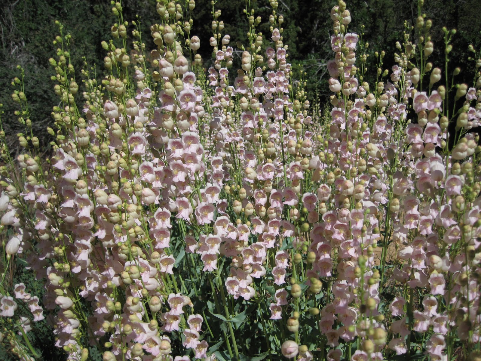 |
| Palmer's Penstemon |
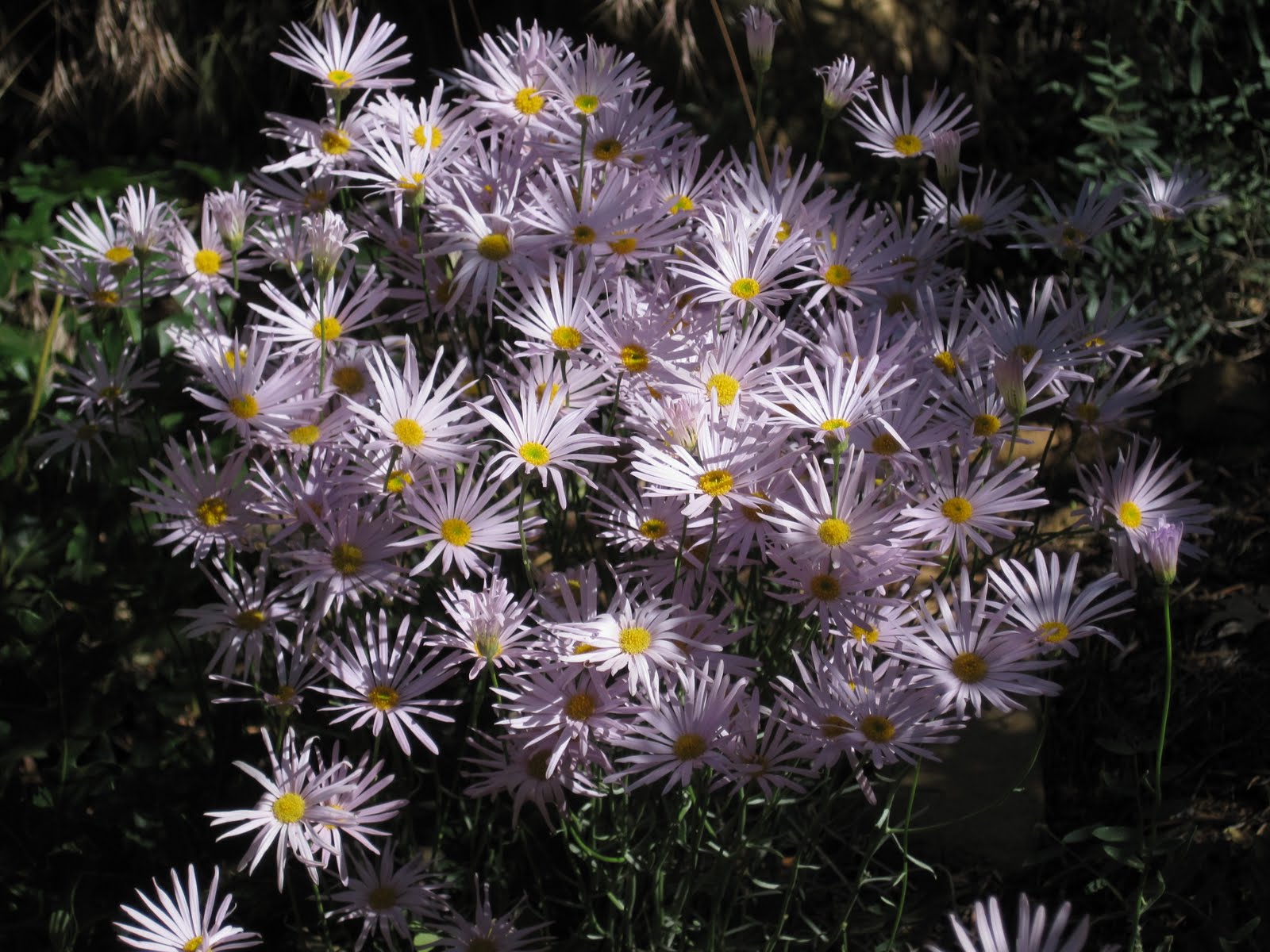 |
| Aster |
 |
| Firecracker Penstemon |
The return trip retraces our earlier steps, since the northerly route via Albuquerque has significant smoke caused by numerous fires in Arizona and New Mexico. We had headwind on the trip from Dallas to St. George, and unexpectedly have headwind again on the return flight. Lifting off from Deming, NM, the headwind is so strong that we decide to fly 500 ft AGL. This is okay since we are in desert country without towers or obstacles. The detailed views of the desert and the salt lake flats near the Guadalupe Mountains are beautiful.
As we proceed from El Paso east and stay below two tracks for testing unmanned aircraft, a helicopter swoops down and looks at us. This is Border Patrol, and most likely the same helicopter that lifted off from Deming the same time we took to the sky. They fly past us, then veer away. We had forgotten to dial in 121.5, but do so now, since this is the correct communication frequency with patrols. Takeoffs in Pecos, TX, and Sweetwater, TX, are in 104 deg F heat and tax the temperature limits of our plane. But the recently installed oil cooler fan comes to the rescue, and we climb out with water and oil temperatures in the green range.
This is a good time for airplane travel, as we found out in more than 30 hours of flying, staying at a number of hotels, and camping and hiking. With the help of friends like Philip and Lynn, even nasty plane problems can be solved. We are in the golden age of private-plane aviation, as we likely will declare years from now. At that time, we will realize that the availability of hundreds of uncontrolled airports, simple rules of flight, and wide-open spaces should not be taken for granted, but are an extraordinary opportunity to be savored.


Comments
Post a Comment